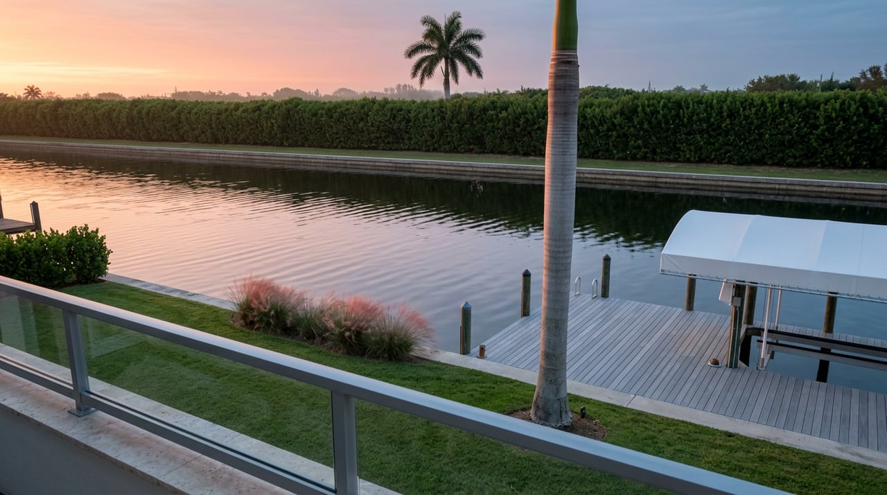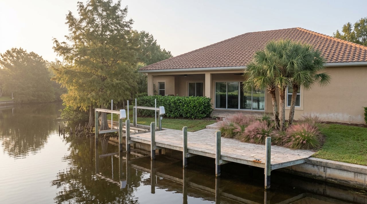
In late August, Trinity Scott stood in front of a joint briefing of Marco Island and Collier County officials and told them the Army Corps of Engineers had just approved a new dredge for Collier Creek, the channel that carries an estimated third of the boat traffic moving between the Marco River and the waters north and south of it. Scott, who heads Collier County's Transportation Management Services, said the county would "anticipate starting that project next year," with the work running into 2028.
That same briefing also covered something most residents cross on foot, not by boat: the sandy tidal channel between Tigertail Beach and Sand Dollar Island, the wade that families on Marco Island have made at low tide for years to reach the undeveloped stretch of Gulf beach on the far side. The two projects are separate. But hearing them discussed in the same meeting is a useful reminder that the coastline around Marco Island isn't holding still. It's being actively managed, on a schedule, by people with a permit file and a budget line.
The Wade Everyone Remembers
Twenty years ago, Sand Dollar Island wasn't attached to anything. It was an offshore sandbar. Hurricane Wilma piled enough sand onto its southern end in 2005 to connect it to the mainland, and over the following decade the lagoon crossing became one of those unglamorous local rites: park at Tigertail Beach Park, walk out past the bathhouse, and wade a lagoon that was typically ankle to knee deep at low tide, mud and fiddler crabs underfoot, before stepping onto three miles of nearly empty sand.
That description held up for years. Then storms started working against it. Hurricane Irma damaged the system in 2017, and by 2018 an engineering study commissioned by the Hideaway Beach Tax District found that tidal exchange through the lagoon had been declining since 2003 as an accumulating sandbar squeezed off the channel. Mohamed Dabees, the Humiston & Moore Engineers vice president who led that study and the restoration design that followed, warned at the time that if nothing changed, the sandbar would eventually collapse and seal off part of the lagoon entirely.
Then Hurricane Ian hit in September 2022, and the slow problem became an urgent one.
The Fix Was Never Meant to Be Invisible
The city and the Hideaway Beach Tax District moved on a restoration project that began in earnest that November. It cost $3.3 million, funded entirely by the tax district, and the district separately asked Collier County's Tourist Development Council for another $921,000 to cover damage tied specifically to Ian. The county approved it. By the time the project wrapped in 2023, crews had used roughly 500,000 cubic yards of sand to rebuild the collapsing end of Sand Dollar Island and restore tidal flow to the southern part of the lagoon.
Linda Ryan, a board member of the Hideaway Beach Tax District, had made the stakes plain back when the dredging was still being debated. Sand accumulating in the wrong places, she said, was burying
"critical environmental resources, which include seagrasses on which the manatees feed."
Linda Colombo, who leads the nonprofit Friends of Tigertail Beach, raised a parallel concern about water quality once the lagoon's mouth started closing off from fresh seawater exchange. The project that followed was designed to answer both problems at once: keep the tidal flow open, and keep the habitat intact.
None of this was framed as a one-time repair. It was framed, from the start, as an engineered system that would need to keep being adjusted.
The Maintenance Never Stopped
That framing turned out to be accurate. A Collier County Coastal Advisory Committee document from May 2024 laid out the plan for what comes after the initial rebuild: roughly 40,000 cubic yards of sand recycled on about a two-year cycle to keep the reconstructed berm intact, backed by a $350,000 maintenance allocation.
The most recent public update came on February 5, 2026, when the city of Marco Island confirmed it was back out at the lagoon grading the sand berm to fix erosion scarring and clearing small shoaling sections along the authorized flow channel, timed to finish before that year's bird and turtle nesting season. The city described the work as necessary
"to maintain compliance with state permit requirements,"
and noted it was contracted through Marco Island itself, still funded by the Hideaway Beach Tax District.
That single sentence matters more than it sounds like it should. It means the channel's depth and shape aren't settling toward some final, stable configuration. They're being reset on a maintenance rhythm, roughly every two years, indefinitely. The August briefing about Collier Creek reinforced the same point from a different angle: officials in that meeting also discussed Big Marco Pass monitoring, the federal waterway just north of Tigertail that falls under Army Corps jurisdiction, alongside the Tigertail restoration timeline. Marco Island's coastal engineers are managing the inlet, the pass, and the lagoon as one interconnected system, not a collection of separate fixes.
What a Deeper Crossing Actually Means Right Now
The practical result is that the wade many people still describe from memory isn't a reliable description of current conditions. Visitors who made the crossing this spring, after the February maintenance work, describe something more demanding than the old ankle-to-knee standard: still shallow enough near low tide in most spots, but reaching waist or chest deep near high tide, with enough current at peak flow to unsettle a tired kid mid-crossing. Guides that used to call it a casual splash now recommend timing it around a tide chart or skipping the wade altogether by paddling across on a kayak or paddleboard.
A few things are worth knowing before the next trip out there:
- The lagoon crossing is easiest at or near low tide. Check a tide chart the night before rather than guessing.
- The beach concession at Tigertail has not operated since Hurricane Ian in September 2022, so there's no food, drinks, or rental gear waiting on the far side. Bring what you need.
- Sand Dollar Island sits inside the Big Marco Pass Critical Wildlife Area, and posted nesting sections get roped off, especially in spring and summer, for snowy plovers, least terns, and black skimmers.
- Tigertail is a recognized stop on the Great Florida Birding Trail, and the county recently installed an ADA-accessible Wildlife Viewing Tower near the lagoon, a good option for watching nesting activity without needing to cross into a closed zone.
- If the lagoon looks high or the current feels strong, the parking lot's south end has a walk-around route that avoids the crossing entirely.
None of this makes Tigertail less worth visiting. It makes the old mental map of the place slightly out of date, which is exactly what happens when a piece of coastline is being actively rebuilt on a public schedule rather than left to whatever the last storm did to it.
A System, Not a Snapshot
The throughline across the last four years of permit filings, council updates, and coastal committee agendas is consistent: Tigertail Lagoon isn't drifting toward some settled, permanent shape. It's a managed system, funded by a specific taxing district, engineered by a specific firm, and scheduled for another round of adjustment roughly every two years, with the surrounding waterways getting worked on in parallel. The crossing you remember from five years ago was accurate then. It may not describe what's underfoot the next time the tide is out.
MJ Team keeps track of small, unglamorous updates like this one because they shape ordinary life on Marco Island long before anyone writes them into a listing description. If a quiet low-tide walk out to Sand Dollar Island is part of why this island feels like home, MJ Team is glad to keep you posted on what else is changing along the way.