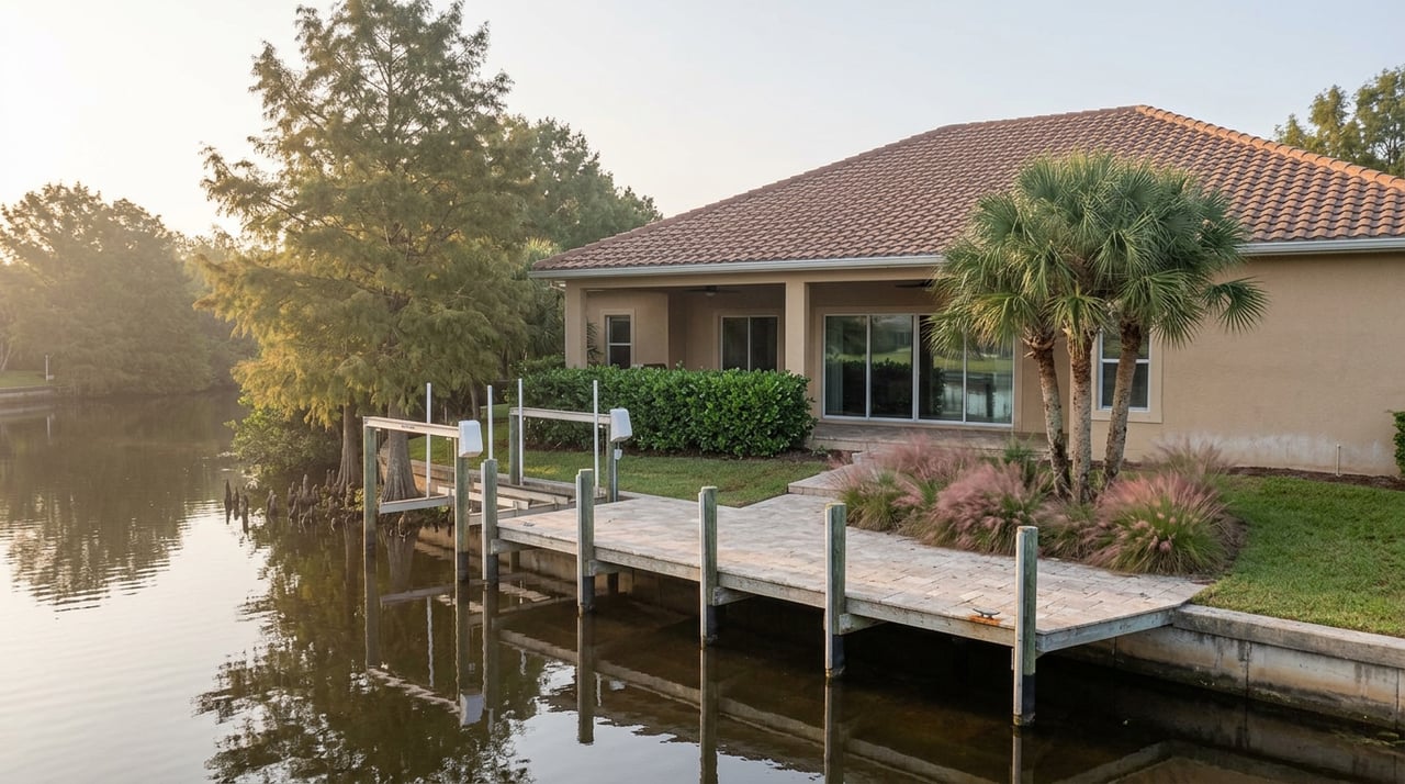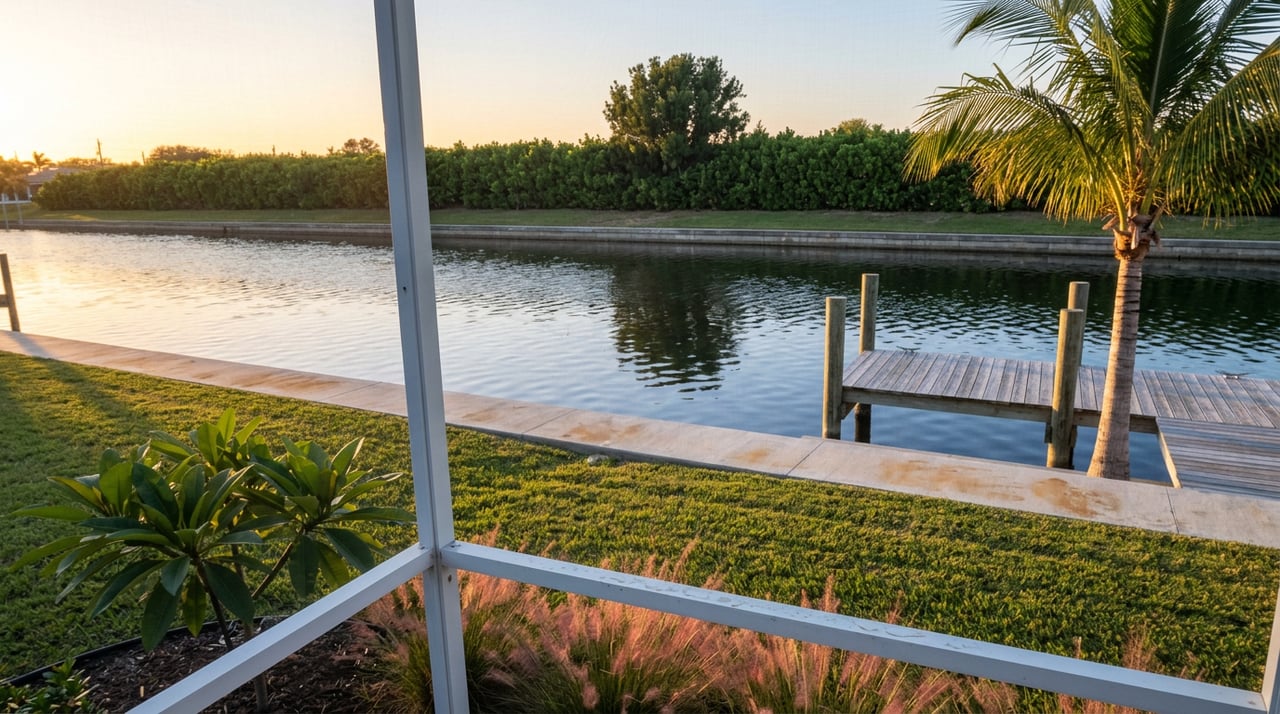
Stand on Curlew Avenue in Royal Harbor and look at the boats tied up on either side of the street. The homes look the same age, the docks sit at the same distance from open water, and the listing agents would describe both as waterfront without blinking. But draw a line down the middle of that street and you've drawn the actual boundary of the East Naples Bay Special Taxing District, the entity that funds dredging and navigability for the canals in Golden Shores, Oyster Bay, and Royal Harbor. The district's own description is specific: it covers the canals on both sides of Curlew Avenue south to Royal Harbor, and it does not include properties facing Naples Bay directly. A canal-front home on that street sits inside the district. A bay-facing home a few doors down does not, no matter how similar the two properties look from the street.
That split isn't an isolated quirk of one Naples neighborhood. It's the pattern. Naples doesn't have one waterfront tax question. It has at least four separate systems, each drawn along its own boundary, each funding a different obligation, and none of them tracking the subdivision name on a listing sheet the way a buyer might expect.
The Four Districts, Side by Side
| District | Neighborhoods Covered | What It Funds | Current Status |
|---|---|---|---|
| Moorings Bay Special Taxing District | Park Shore, the Moorings, Coquina Sands, from Seagate Drive south to Banyan Boulevard | Dredging and navigability across the Moorings Bay system, including Doctors Pass | Ongoing ad valorem levy, established 1987 |
| East Naples Bay Special Taxing District | Golden Shores, Oyster Bay, Royal Harbor canals (canal-front parcels only) | Dredging, rock removal, and navigability | Ongoing ad valorem levy, established 1987; just absorbed a storm-driven cost overrun |
| West Naples Bay Special Taxing District | Aqualane Shores canal-front parcels, roughly 14th Avenue South to Galleon Drive | Canal maintenance, dredging, and seawall inspection | Canal-front only; bay-facing lots in the same neighborhood are excluded |
| Port Royal Area Dredging Assessment | Port Royal | One-time canal dredging project | Project complete; some owners still finishing a payment schedule that began in 2014 |
Read the table again and the thing that jumps out isn't the dollar amounts. It's that proximity to the same body of water tells you almost nothing about which bill, if any, applies. Two of these districts were created by the same 1987 referendum and share nearly identical purposes, yet one treats three subdivisions as a single cost pool while the other draws a hard line between canal frontage and bay frontage inside a single subdivision. The fourth is a different animal entirely, a closed-end project rather than an ongoing levy. A buyer who assumes "waterfront in Naples" is one category of carrying cost is already working from the wrong map.
Why the Line Runs Where It Does
The Moorings Bay Special Taxing District treats Park Shore, the Moorings, and Coquina Sands as one system because they share a connected bay and channel network, including Doctors Pass, where sediment moves and accumulates as a single hydrological unit. Spreading the cost across all three subdivisions makes sense when the water itself doesn't respect the subdivision plat.
East Naples Bay works differently because its canals are narrower, more numerous, and dead-end rather than connected to a shared bay system the way Moorings Bay's waterways are. Sediment collects fastest in the tightest, most enclosed canals, which is exactly where Golden Shores, Oyster Bay, and Royal Harbor sit. Bay-facing lots a few doors down don't share that sedimentation problem the same way, so they were never brought into the district in the first place. The boundary isn't arbitrary. It follows where the silt actually piles up, and that happens to run down the middle of streets like Curlew Avenue rather than along a subdivision's outer edge.
The Ian Bill Nobody Priced In
If you're evaluating a canal-front lot in Royal Harbor, Oyster Bay, or Golden Shores right now, you're buying into a district that just took a real hit. The East Naples Bay canal dredging and rock removal project, run under contractor Quality Enterprises, was already underway when Hurricane Ian pushed additional sediment and debris into the canal system, adding roughly a million dollars to the project's cost and forcing the contractor to re-survey the canals before restarting work. Dredging in the Royal Harbor stretch of the district finally began in October 2023, years later than originally planned, and the district's board asked the City to pursue FEMA reimbursement for the storm-related overrun.
None of that cost touches the bay-facing lots excluded from the district. A buyer comparing two nearly identical homes on the same block, one canal-front and one bay-facing, isn't just comparing dock access. They're comparing exposure to a specific, recently-realized cost that only one of those two properties actually carries.
The One That's Mostly Already Paid For
Port Royal runs on a completely different clock. The Port Royal Area Dredging District was created in 2011 specifically to fund a canal dredging project, and the City sent its first assessment bill in November 2014. A few months later, in March 2015, the City gave 53 parcel owners the option to prepay their full share rather than finance it. Twenty-two took that option. The remaining 31 spread the cost across a six-year assessment on their property tax bills. Today, the City's own finance page lists the project as complete, with assessments still being collected from the owners who financed rather than prepaid.
That's a meaningfully different risk profile than East Naples Bay's live, storm-affected obligation. Port Royal's dredging bill was a known, closed-end cost that most owners settled a decade ago. A buyer walking into Port Royal today inherits little to none of that exposure, even though it's arguably Naples' highest-profile waterfront address and the one most likely to get lumped into the same "waterfront premium" conversation as Aqualane Shores or Park Shore.
Aqualane Shores Stacks Two Unrelated Bills
Aqualane Shores adds a wrinkle of its own. Its canal-front parcels sit inside the West Naples Bay Special Taxing District, which funds dredging and seawall inspection the same way Moorings Bay and East Naples Bay do for their respective neighborhoods, with bay-facing lots again excluded from the district. But Aqualane Shores also has a second, entirely separate special assessment on the books: a 2019 project to extend natural gas and fiber optic lines into the neighborhood, approved by City Council that June. One assessment funds canal maintenance. The other funds utility infrastructure that has nothing to do with water at all. They were approved eight years apart, for unrelated purposes, and both can sit on the same parcel.
That's the broader lesson. Fragmentation in Naples isn't only a story about different neighborhoods carrying different bills. Within a single neighborhood, a single parcel can carry more than one kind of special obligation, layered on top of each other and easy to miss if you're only checking flood zone and insurance quotes before you write an offer.
What to Actually Check Before You Write an Offer
- Ask which special taxing district, if any, touches the specific parcel, not the subdivision as a whole. Canal-front and bay-facing lots on the same street can sit on opposite sides of a district boundary.
- Call the City's finance department or its outside assessment administrator to check for any outstanding balance tied to that parcel number, not just the neighborhood's general reputation.
- Ask whether the relevant district's project is complete or still active. An active project, like East Naples Bay's, can still absorb a storm-driven cost overrun the way it just did after Hurricane Ian.
- In Aqualane Shores specifically, ask about both the taxing district status and any separate infrastructure assessment tied to the lot, since the two run independently of each other.
Under Florida's uniform method for collecting these assessments, the same statutory framework the City cites in its own dredging resolutions, an unpaid non-ad valorem assessment runs with the property tax bill and becomes a lien against the parcel. It doesn't follow the seller. It follows the address. That's the whole reason this due diligence has to happen before closing, not after.
A Short FAQ
Does a special taxing district assessment transfer to a new owner at closing? Yes. These are non-ad valorem assessments collected through the property tax roll, and Florida's uniform collection method attaches them to the parcel rather than to whoever happened to own it when the assessment was approved. A buyer inherits whatever balance remains unless it's addressed as part of the sale.
How do I find out if a specific Naples address sits inside one of these districts? The City of Naples finance department maintains records on special assessment areas, and outstanding balances are tracked through an outside consulting firm the City has contracted for this purpose. A direct call, referencing the parcel number rather than the subdivision name, is the most reliable way to get a clear answer.
Are dredging districts the only special assessments to watch for in Naples? No. The City currently manages several other special assessment areas for unrelated infrastructure, from utility undergrounding to sewer conversion projects in specific pockets of the city. Dredging happens to be the category most relevant to canal and bay-front buyers, but the same habit, checking the parcel rather than assuming based on the neighborhood, applies just as well outside the waterfront.
Buying on the water in Naples means buying into a specific legal boundary, not just a view. If you're comparing addresses across Park Shore, Royal Harbor, Aqualane Shores, or Port Royal and want to know exactly which obligations travel with a given parcel before you write an offer, the MJ Team can pull that history alongside the rest of your due diligence. Start Your Luxury Home Journey with MJ Team.